|
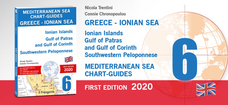
GREECE - IONIAN SEA 6 Ionian Islands Gulf of Patras and Gulf of Corinth Southwestern Peloponnese
N. Trentini e C. Chronopoulou
A pilot is a fundamental companion to nautical charts and contains all the information that a yachtsman needs, but cannot be included on the charts themselves. This guide and its 200 user-friendly charts show all of the available harbours, marinas and anchorages within this navigation area. The introduction includes a table with distances and the main routes, a list of printed and digital charts, as well as local weather information. The entire area is divided into eight macro-zones. Each one has its own quick guide that includes waypoints, harbour and marina facilities, plus the main features of local anchorages (e.g. nature of the seabed, shelter, facilities ashore). At a glance, you will be able to decide where to head based on your yacht and the weather. Each chart has an icon that shows the harbour or bay position within the navigation area. This way you will always know exactly where you are. This guide also comprises 221 plans for harbours and marinas, and 413 plans for bays and anchorages, each with a wealth of practical symbols and overviews providing complementary information so that you can sail with peace of mind. A handy wind-rose icon gives wind direction and exposure for each plan. The pilot numbers: 904 WAYPOINTS WGS 84
|
codice: FR 60
ISBN: 9788836100040
editore: Edizioni il Frangente
edizione: 2020
lingua: Inglese
pagine: 280 ill. a colori
formato: A4
rilegatura: Brossura
prezzo: 56.00 €
|